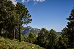
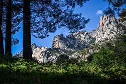
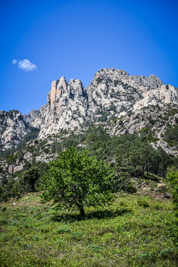
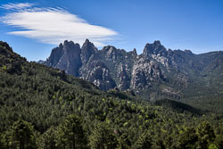
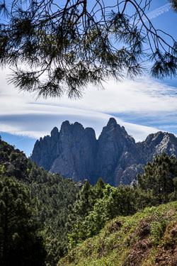
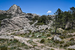
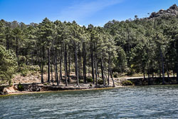
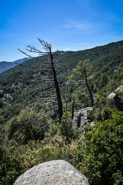
2019 Bavella (Corsica)
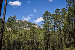
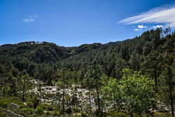
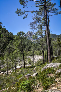
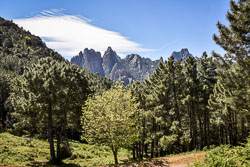
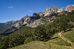
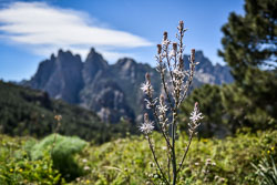
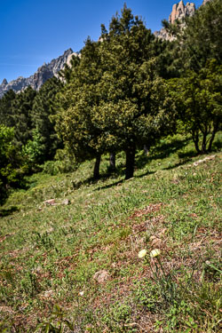
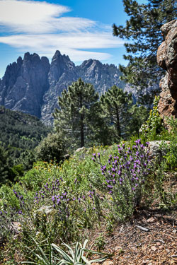
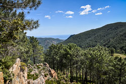
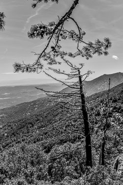
The Aiguilles de Bavella (Corsican: I Forchi di Bavedda) are rocky spikes of red granite[1] that dominate the hill of the same name. The name means needles of Bavella. At 1218 m, the hill connects the Alta Rocca [fr] to the east coast of Corsica. This massif is smaller yet much more popular than the "aiguilles de Popolasca". The site is characterized by jagged peaks, large rock walls and pine trees twisted by the wind. Located in the centre of the "Massif de Bavella", are the seven "tours d'Asinau," or towers of Asinau, the actual "needles". These are traditionally numbered from south to north:
- Punta di l'Acellu (Punta ll'Aceddu, 1 588 m)
- Punta di l'Ariettu (Punta ll'Arghjetu, 1 591 m)
- Punta di a Vacca (Punta lla Vacca, 1 611 m), the only tower accessible to a simple hiker
- Punta di u Pargulu (Punta llu Pàrgulu, 1 785 m), separated from the previous towers by the Bocca di u Pargulu (1662 m), taken by the Alpine variant of the GR 20
- Punta Longa (1836 m)
- Punta Alta (1855 m), the highest
- Punta Iolla (1848 m), separated from the Punta Alta by the Bocca di u Santu (1745 m)
The highest points of the Bavella massif stand a little to the north of the Needles with both Punta di u Furnellu (Punta llu Furneddu) and Punta Muvrareccia (A Mufrareccia) at 1899m. The massif is overshadowed by the highest peak in the region, Monte Incudine [fr] (2134 m). It extends from the forest of Tova and the town of Solaro to the 1381m Monte Calva to the south, the edges of the Massif de l'Ospedale, and almost to Conca and the sea in the east.
bron www.wikipedia.org

